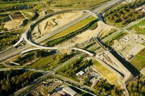
Aerial Surveys

Whether you are surveying property, monitoring the progress of construction projects, conducting pipeline inspection, performing scientific studies in the wild, or even tracking herds of livestock on a ranch, a helicopter is invaluable and indispensable because of their agility, versatility and unbeatable range-of-sight.
SRT Helicopters gives you that bird’s-eye-view of your project, and helps you enhance the image of your presentation with either aerial photography, GIS Mapping or FLIR Services.

